Don’t forget to check out our other guides in California:
Travel Guide: Yosemite National Park
Travel Guide: Camping in Yosemite National Park
Travel Guide: California Big Sur, Highway 1
Travel Guide: Napa Valley, Wine Country
Yosemite National Park in One Day!
Welcome to Yosemite National Park: The One-Day Photography Mission. This is where colossal monoliths like El Capitan and Half Dome rise thousands of feet above the valley floor, creating views that inspire awe and instantly fill memory cards. From the sheer, wind-blown cascade of Bridalveil Fall to the thundering base of Yosemite Falls, the Valley is packed with iconic, must-see sights. But let’s be honest: with its immense popularity, required reservations, and the sheer effort of covering the core locations, how exactly do you conquer Yosemite’s best views in a single, epic day?
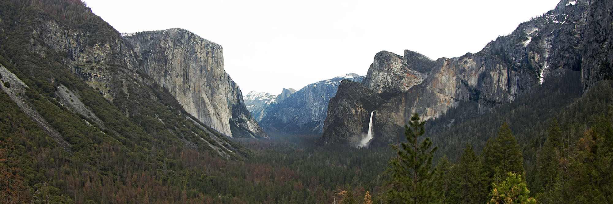
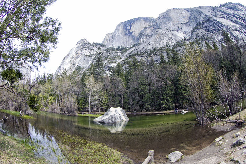
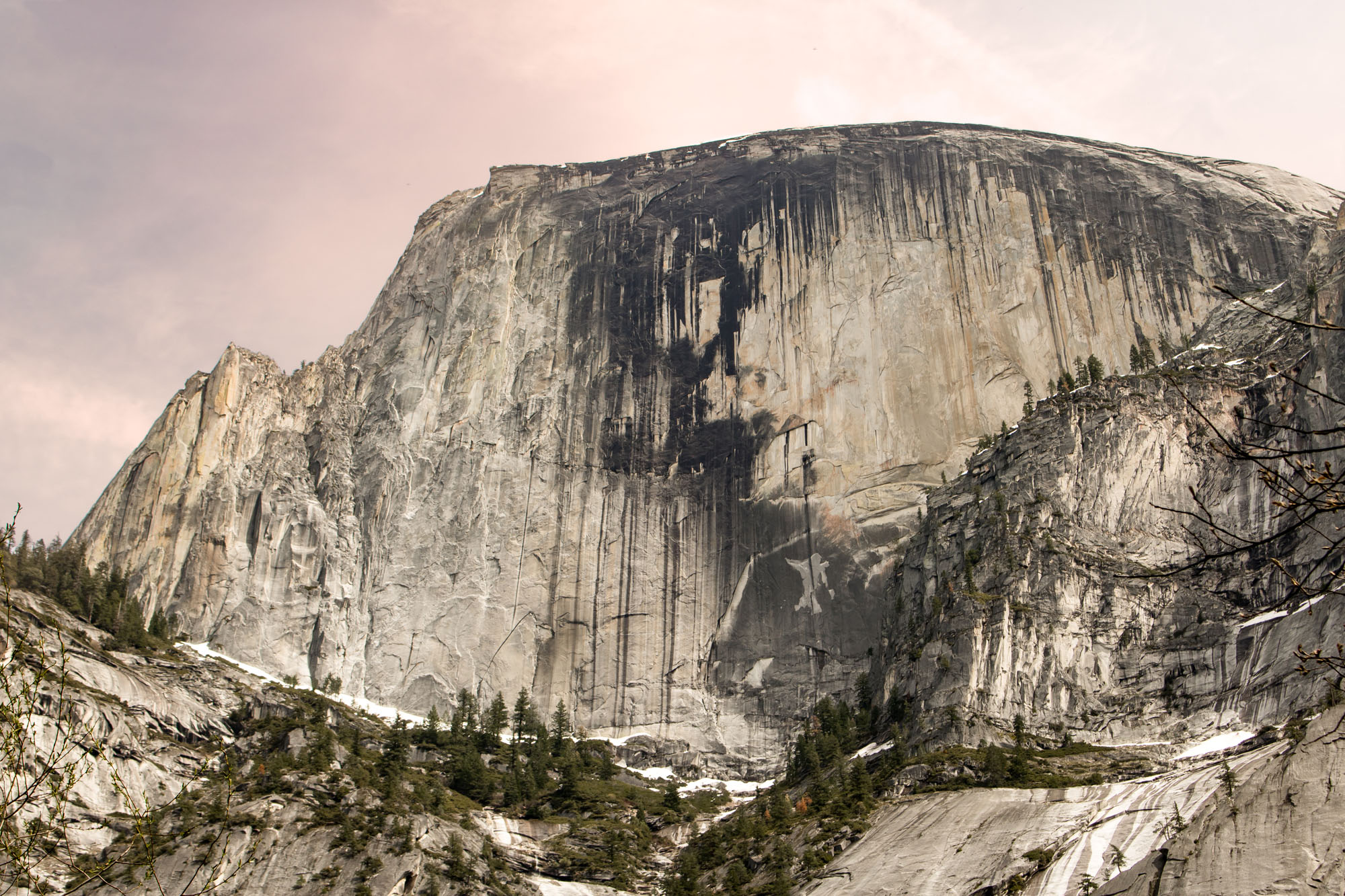
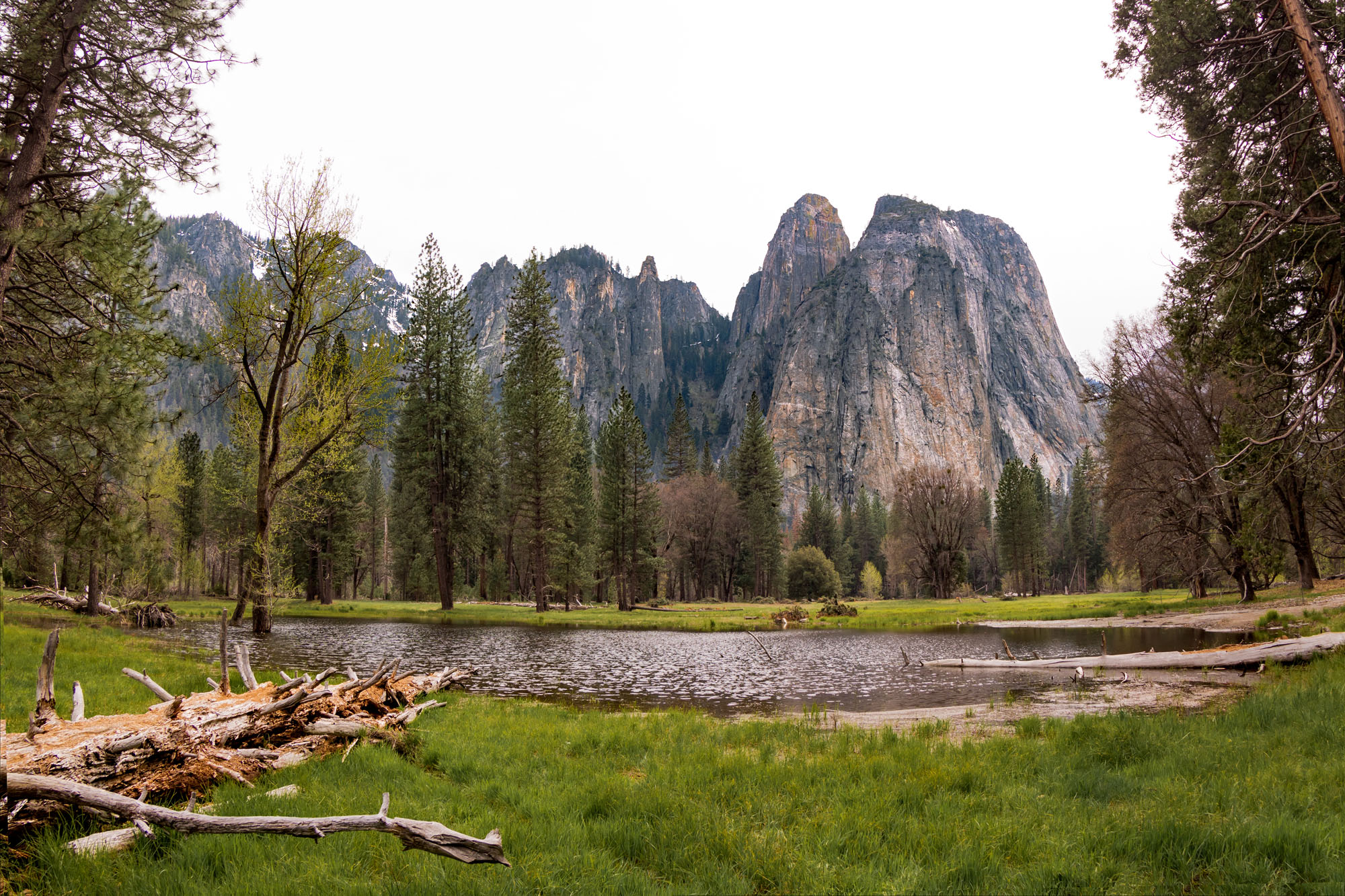
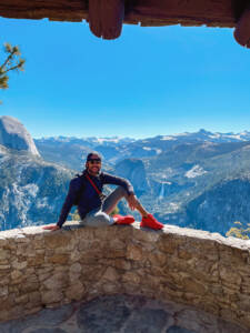
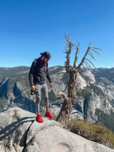
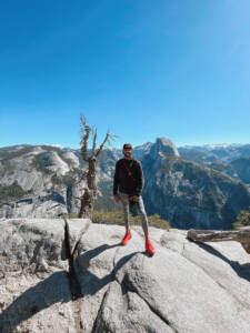
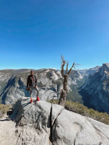
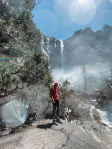
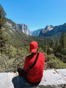
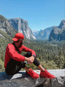
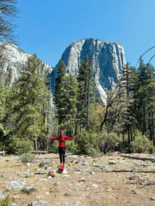
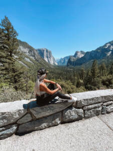
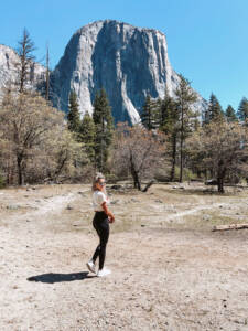
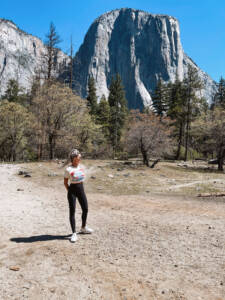
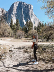
This document is your essential shortcut—the “quick and dirty road map” designed to cut through the confusion of park planning, overwhelming trail guides, and the challenge of navigating summer crowds, ensuring you get straight to the absolute best views without wasting a precious minute. Drawing on firsthand knowledge and successful, stress-tested itineraries, I’ve distilled the Valley’s core photography locations into a hyper-efficient, single-day plan. You’ll move from the sweeping panorama of Tunnel View at sunrise to the mist at the base of Yosemite Falls by mid-morning, culminating in a powerful sunset shot. Better yet, I’ve included my personal photos to give you an authentic, immediate visual reference of each landmark and its unique “view.” This helps you quickly understand the layout and decide exactly where to spend your extremely limited time.
Let’s dive in and conquer Yosemite in a day!
Navigate This Page
Yosemite National Park Points of Interest POI
For one, you will need a rental car to access Yosemite National Park. I typically fly into Sacramento or San Francisco Airports and rent from there. Larger hubs like Sacramento International Airport (SMF), San Francisco International Airport (SFO), or Oakland International Airport (OAK), offer more flight options despite the drive in between.
This itinerary is extremely simple:
- Fly to your favorite airport (SFO, SMF, OAK)
- Rent a vehicle, you do not need an SUV
- Drive toward Yosemite National Park
- Stay somewhere close and stay the night
- The closest possible hotel to the valley floor is Cedar Lodge, but its is NOTHING to write home about. Its super close, 14 minutes, from the West Entrance, Yosemite National Park, but packed with people offering nothing in the form of luxury! I’ve stayed here a few times when not camping.
- A better option is Tenaya Lodge at Yosemite. This is closer to Glacier Point, only 1 hour from Glacier Point, your first stop.
- Download at the hotel on WIFI Google Maps offline Maps for the Yosemite area
- Wake up early in the morning, eat breakfast and drive into the Park.
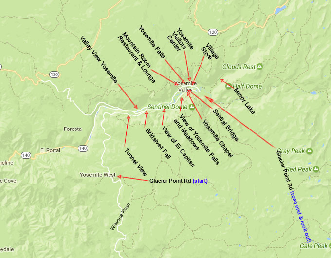
- Now, follow my stops in order:
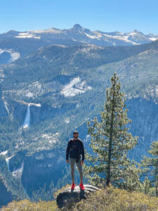
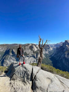
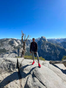
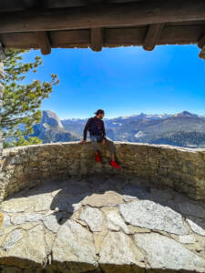
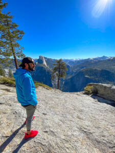
- Glacier Point (Parking Lot)
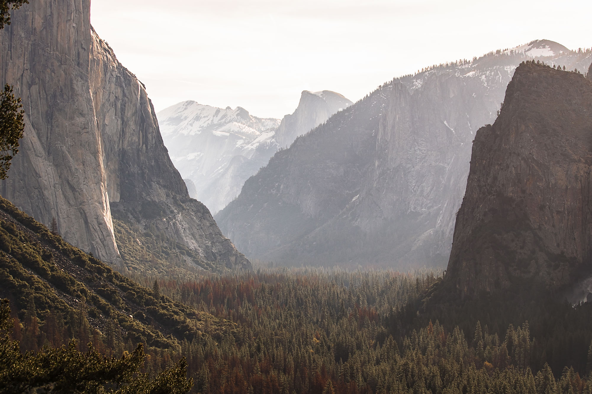
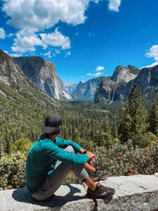
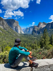
- Tunnel View (Parking Lot)
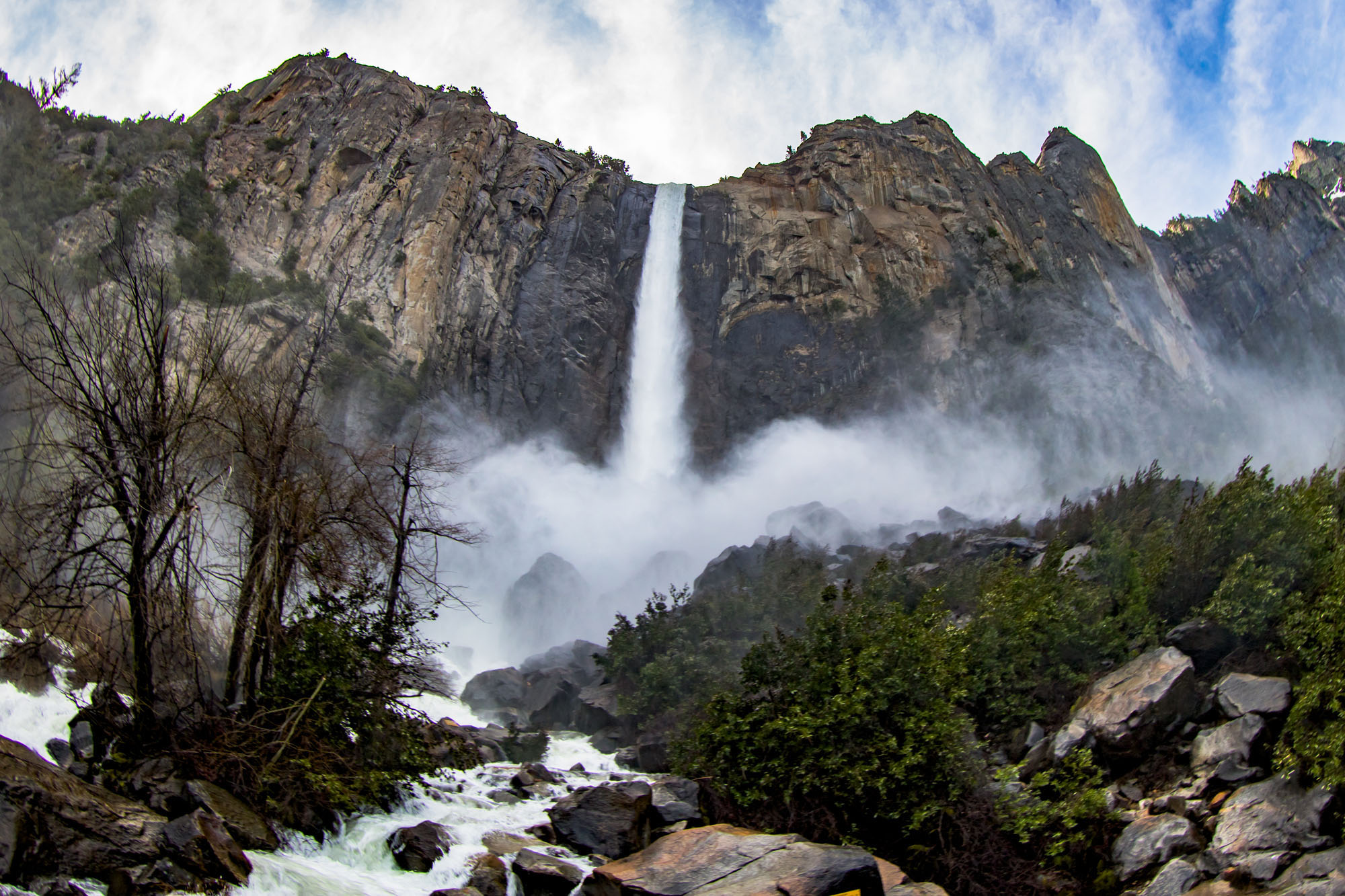
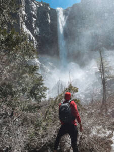
- Bridalveil Falls (Parking Lot)
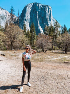
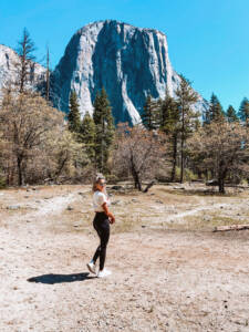
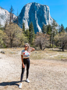
- View of El Captain (Park along road)
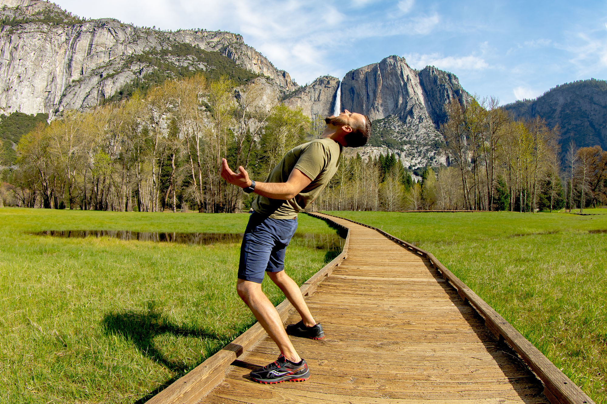
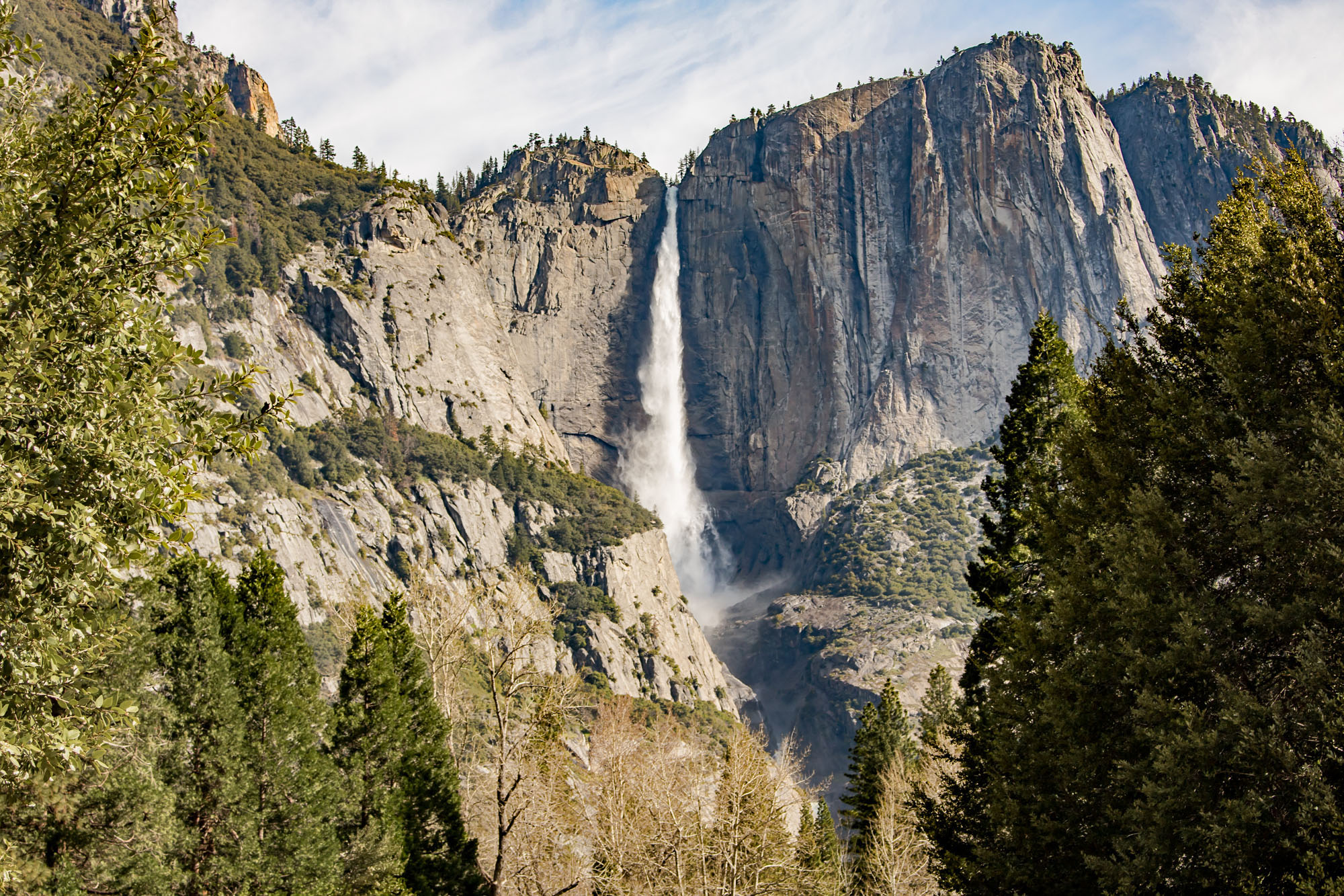
- View of Yosemite Falls & Meadow (Park along road)
- Yosemite Chapel (Parking Lot)
- Sential Bridge (Parking Lot)
- Mirror Lake (Hike in from Village Store parking)
- Village Store (you can grab food here!)
- Yosemite Visitors Center (you can find gifts & souvenirs here!)
- Yosemite Falls Trailhead (Parking Lot)
- Mountain Room Restaurant
- Valley View of Yosemite (Park along road)
You cannot drive to the following places unfortunately:
- Nevada Falls
- Vernal Falls
- Half Dome
- Mirror Lake
I made this map years ago for my parents when I first shared this information.
Yosemite National Park Luxury Tavel Atlas Map
Top Places to See in Yosemite Valley
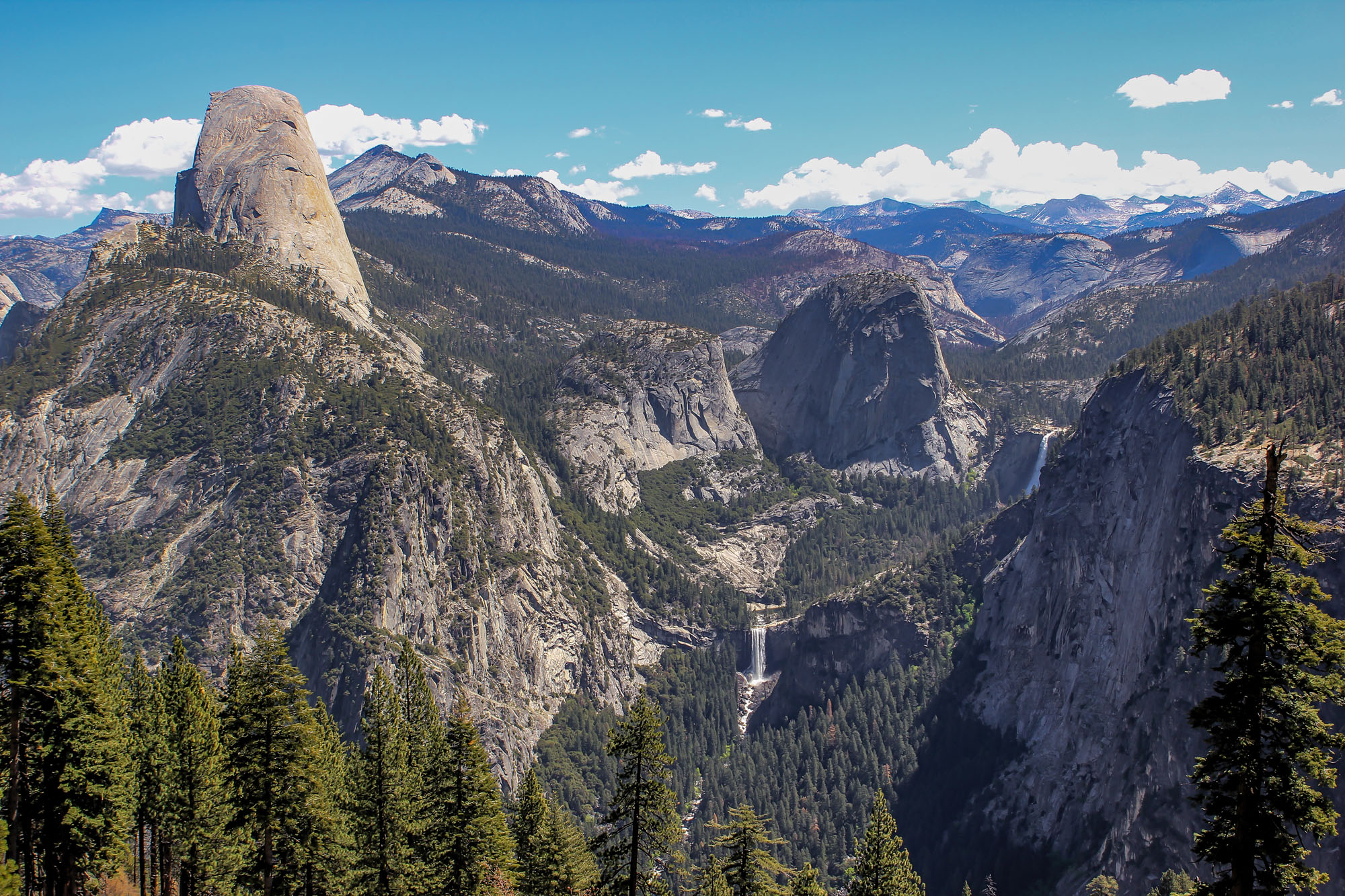
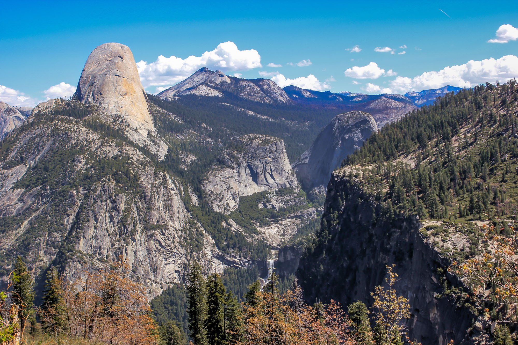
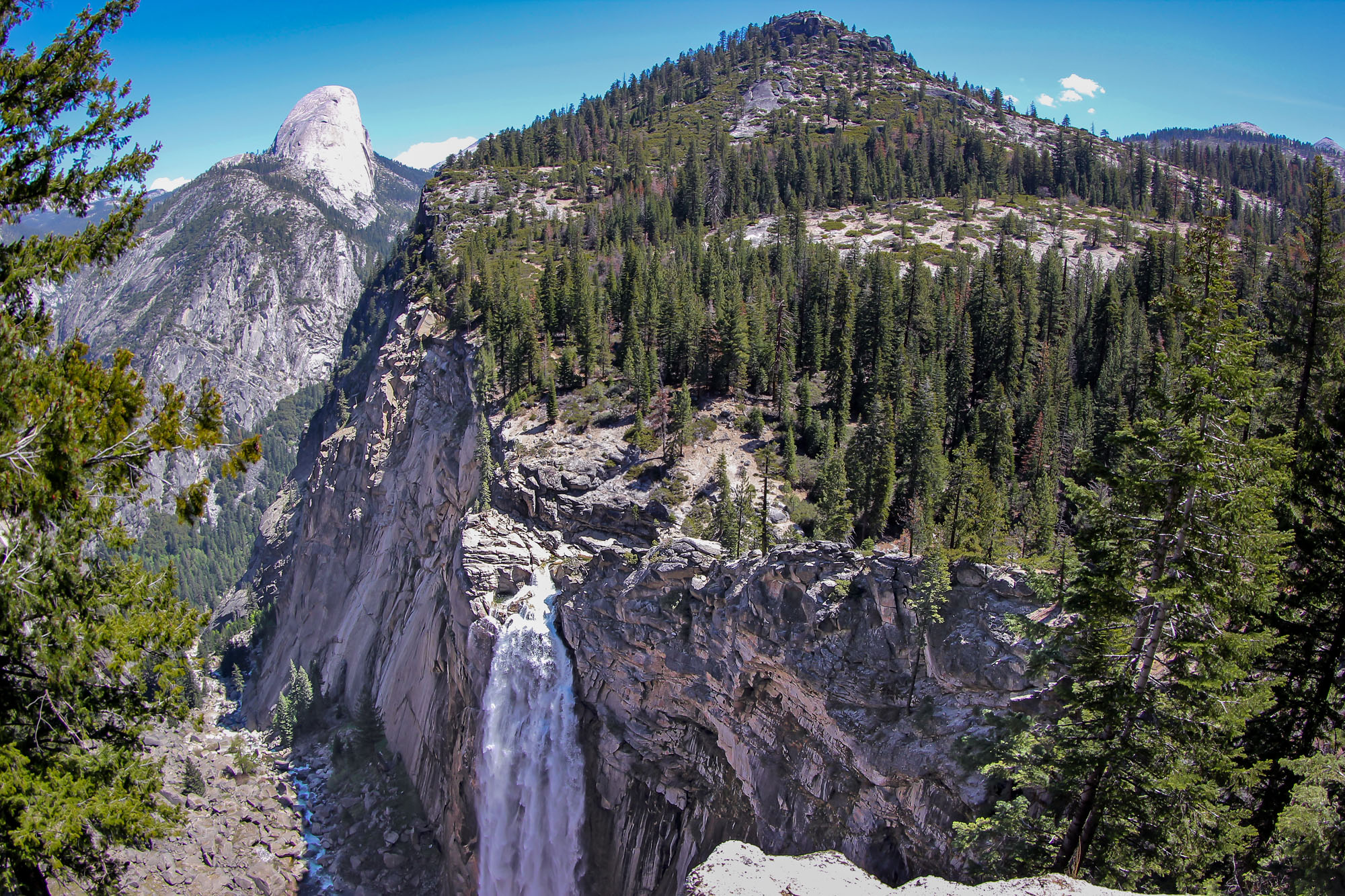
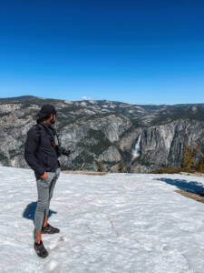
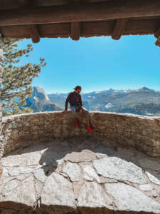
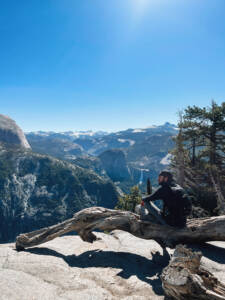
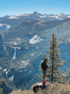
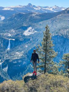
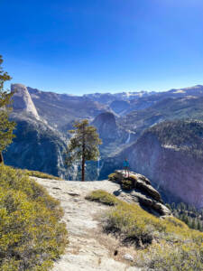
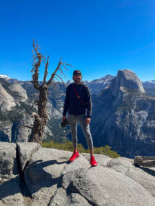
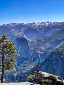
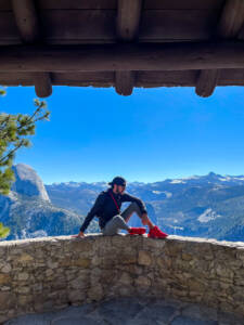
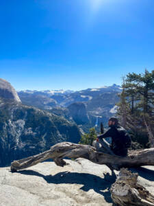
Glacier Point at Yosemite National Park
To access Glacier Point and hike down to Yosemite Valley, its best to Yosemite Valley and buy a shuttle ticket to the top of Glacier Point. The hike down takes roughly 8+ hours with all the stops.
FYI: The Glacier Point Road is open to cars approximately late May through October or November, depending on conditions. When open, you can drive to Glacier Point by traveling on the Wawona Road (the continuation of Highway 41 within the park)—either north from Wawona or south from Yosemite Valley. After traveling about 13 miles, turn on to the Glacier Point Road at the Chinquapin intersection. Driving time from Wawona and Yosemite Valley is about an hour.
Yosemite Valley Places You Will See:
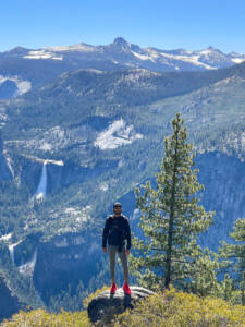
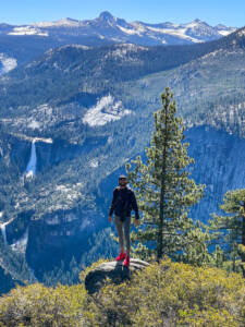
- Upper Yosemite Fall: The top and longest plunge, dropping 1,430 feet (436 m).
- Middle Cascades: A series of four smaller, less visible plunges that collectively drop 675 feet (206 m).
- Lower Yosemite Fall: The final, easily accessible drop of 320 feet (98 m).
More Travel Guides from The Luxury Travel Atlas
Other Travel Guides you might have missed!
Travel Guide: Monument Valley, Arizona
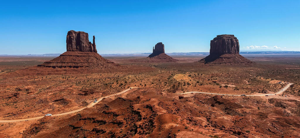
Pin Monument Valley Travel Guide: Navigating the Iconic Arizona-Utah Border Monument Valley, with its soaring sandstone buttes and dramatic, expansive vistas, is arguably one of the world’s most recognizable landscapes,
Travel Guide: Ubud, Bali, Indonesia
Pin Ubud, Bali, Indonesia Welcome to Ubud, Bali, the ultimate destination for tranquility and culture. Far more than just a place to visit, Ubud is the island’s undisputed cultural and
Travel Guide: Camping in Yosemite National Park
Pin Don’t forget to check out our other guides in California: Travel Guide: Yosemite National ParkTravel Guide: Yosemite National Park in One DayTravel Guide: California Big Sur, Highway 1Travel Guide:
Travel Guide: Death Valley, California
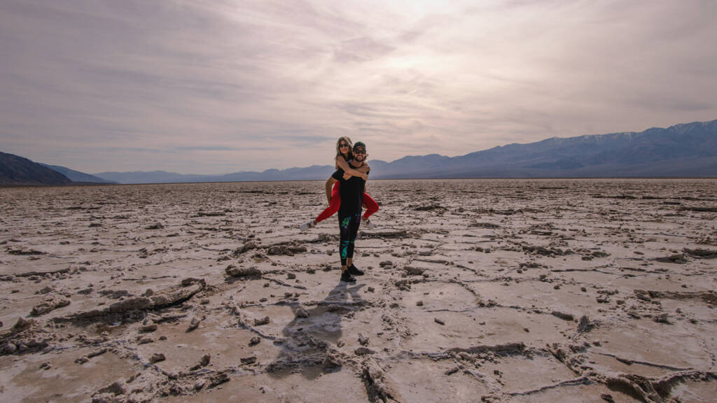
Pin Death Valley Day Trip from Las Vegas Death Valley National Park, often misunderstood and strangely intimidating due to its infamous name and record-breaking summer heat, is actually one of
Dack Patrick
🌎✨
I travel for a living, a Delta 1 Million Miler 1MM, 10 years Diamond Medallion, 7 years straight Marriott Ambassador Elite, and oddly still Hilton Diamond (lame!). It’s the stories I collect along the way that truly fuel me.
From high-rise hotels in buzzing metropolises to quiet beachside cafés tucked between palm trees, my career takes me across the United States and beyond—and I take every opportunity to explore, taste, and soak up the local vibe. Whether I'm grabbing late-night bites in Belgium, sipping wine in Napa, or discovering rooftop gems in New York City, I always keep an eye out for the places and moments worth sharing.
📍🍴
This site is my travel log and guidebook rolled into one—a place where you’ll find detailed insights into the restaurants, hotels, rooftops, beach spots, bars, and other hidden treasures that define each city. Whether you're chasing your next adventure or planning a weekend escape, I hope my posts help you travel smarter, eat better, and find magic in every stop.


